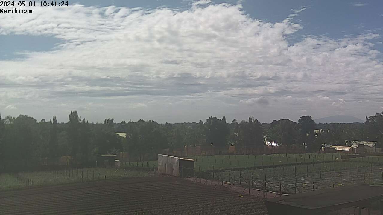
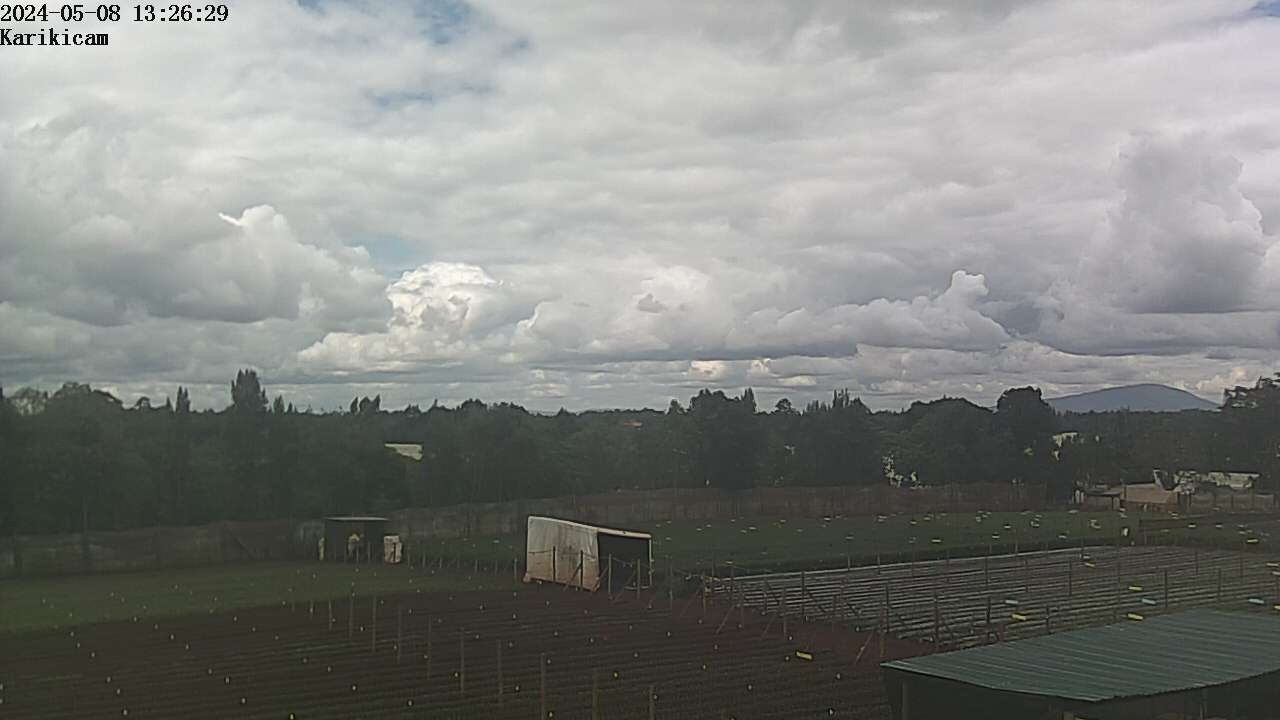
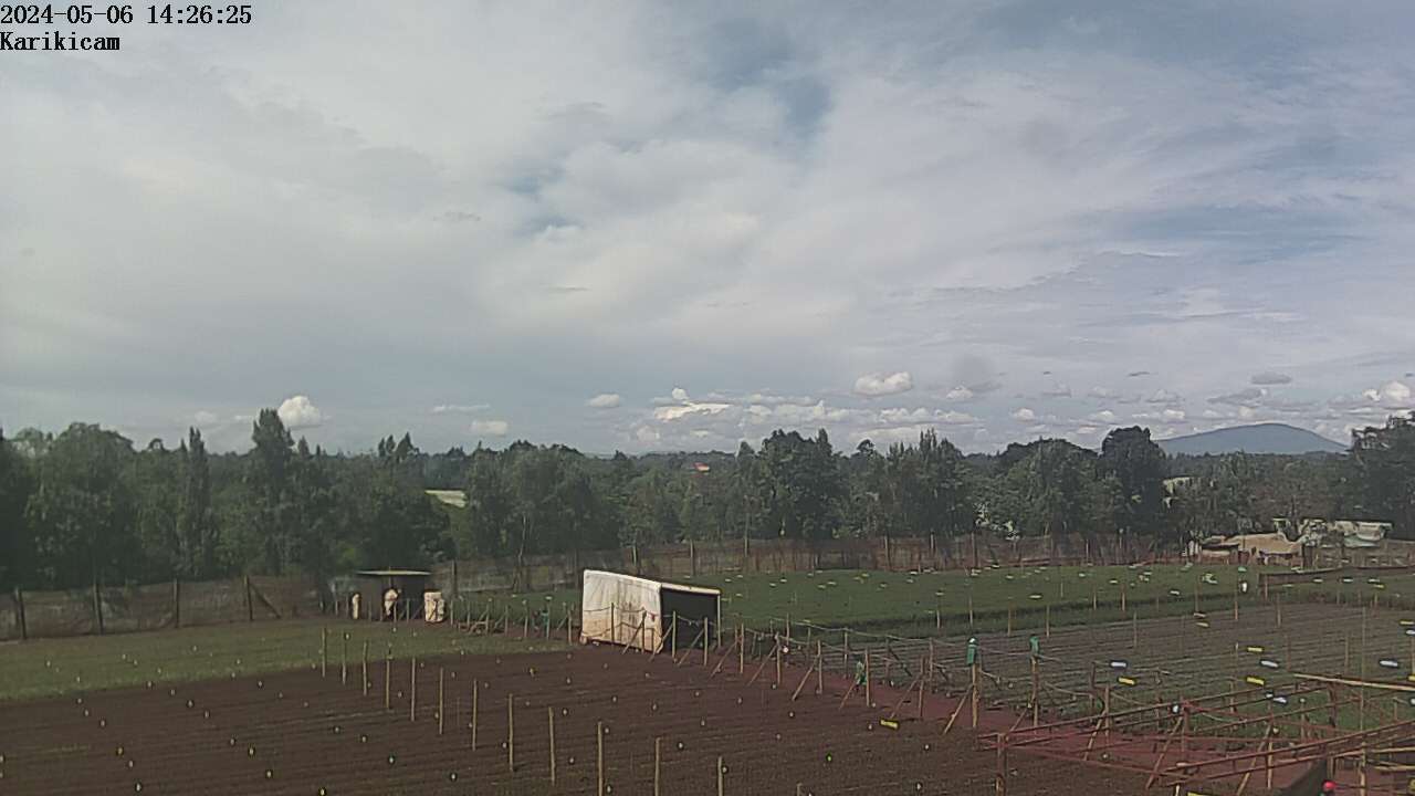
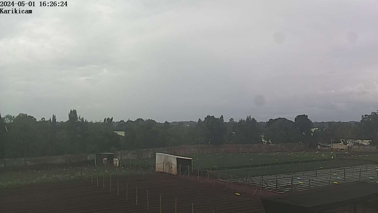
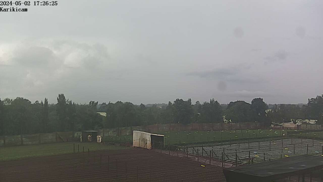
Located close to Bob Harries airstrip southwest of Thika town at an altitude of 5,100 ft. To the right hand side approximately 35kms away is Ol Donyo Sabuk the peak of which is 7,000ft. To the left of Ol Donyo Sabuk in the distance are the Kakuzi hills.
N.B. Alt. refers to CAMERA altitude, not land.
12-hr History Images
Sponsor/Host
We firmly believe that trusting, valuing and empowering people is what counts. Thanks to this attitude our people can grow and add value to make our products unique. Together we proudly grow summer flowers that make our world colourful.