Kenya Webcams Logo
Davis & Shirtliff

Nyahururu NE, Rift Valley

Nyahururu NE, Rift Valley

Location


Nyahururu
0°02'21.3"N 36°21'52.5"E

View on Google Earth
Weather

Site Info


Elevation
7,900 ft.
Facing
NE 030°-090°

Notes


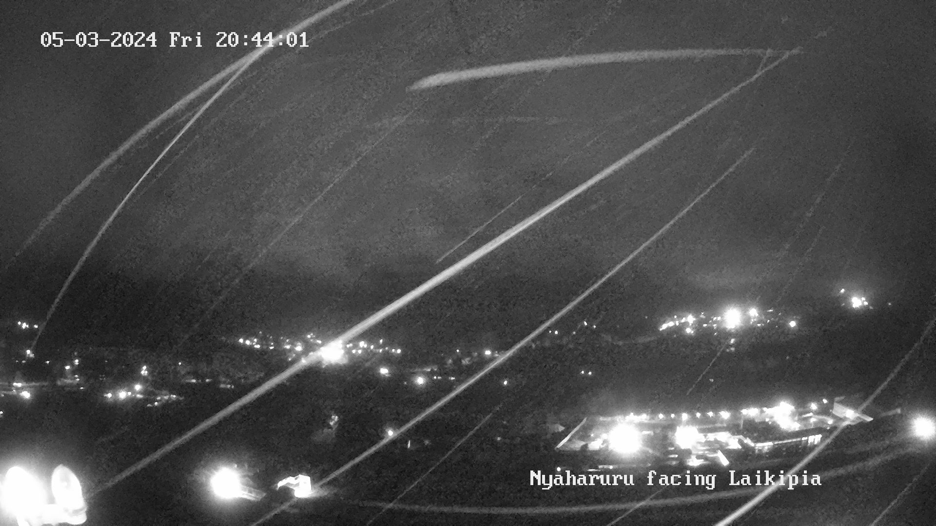
Faces NE towards Laikipia. Left side of the image looks down over Thompson’s Falls towards Rumuruti. In the far distance on a clear day you can see Mt Kenya and the rising ground to the right side of the image are the Aberdares.


Airstrip Info


Nyahururu (5 km S of camera)
SURFACE: Tarmac / Murram

0°00'40.7"S 36°22'00.9"E


12-hr History Images


History Image
History Image
History Image
History Image
History Image
History Image
History Image
History Image
History Image
History Image
History Image
History Image

Sponsor/Host


Kariki Farm

Sponsor/Host Info


The Kariki Group Kenya comprises 4 flower farms located at different altitudes, offering a climatic spread allowing a wide range of flowers to be grown.

 
IS Internet Solutions

Internet Solutions Kenya operates throughout Africa, offering a variety of data centre, cloud, and internet services that help organisations to do things better.